 |
| 3D |
 |
| Aspect |
 |
| Slope |
 |
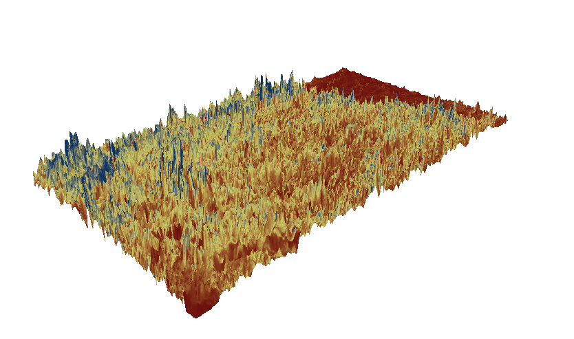
| Hillshade above DEM |
This area that I chose to work with for this lab was contained in the zip folder on the class website. The extent data is as follows: Top:
39.829, Left:
-105.788, Right:
-104.949, Bottom: 39.3838. The geographic coordinate system for the Aspect map is -1 minimum and 359.99 maximum with a mean of 158.55 and a standard deviation of 106.456. The geographic coordinate system for the Slope map is 0 minimum and 30093600 maximum with a mean of 2609061.88 and a standard deviation of 1957062.38. The geographic coordinate system for the Hillshade map is 0 minimum and 254 maximum with a mean of 49.04 and a standard deviation of 64.86. The geographic coordinate system for the DEM map is 1558.87 minimum and 4343.74 maximum with a mean of 2516.4 and a standard deviation of 624.929.


No comments:
Post a Comment